
GIS for Climate Action: Applications Open for University Students in Somalia
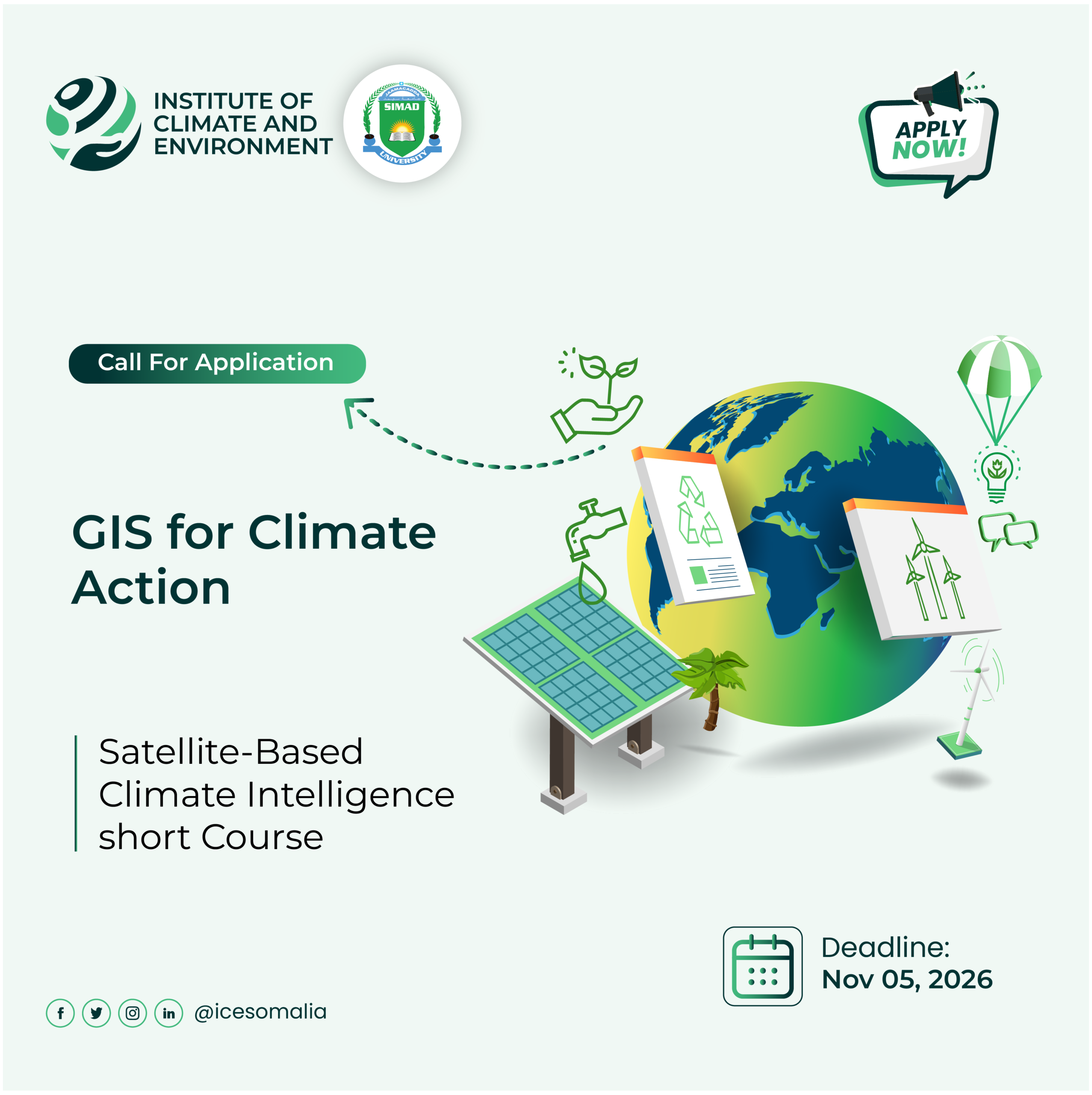
The Institute of Climate and Environment (ICE) at SIMAD University is pleased to announce a call for applications for GIS for Climate Action: Satellite-Based Climate Intelligence for Somalia and the Horn of Africa, a one-month intensive training programme designed to equip university students with practical skills in geospatial technologies, satellite Earth observation, and climate data analysis.
As Somalia continues to face recurrent floods, droughts, and environmental challenges, the need for reliable climate information and skilled professionals capable of translating environmental data into actionable insights has never been greater.
The programme bridges the gap between academic knowledge and practical application by enabling students to use real satellite imagery, open climate datasets, and Geographic Information Systems (GIS) to analyse environmental changes and develop innovative climate-information products.
What Will You Learn?
Participants will receive hands-on training in:
1. GIS and Remote Sensing: Spatial analysis, satellite mapping, and environmental monitoring.
2. Google Earth Engine and QGIS: Working with geospatial data and open-source analytical tools.
3. Satellite Earth Observation: Using Sentinel, Landsat, and other freely accessible datasets.
4. Flood and Drought Monitoring: Analysing rainfall patterns, vegetation conditions, surface water, and climate-related hazards.
5. Climate Data Visualisation: Developing maps, time-series analyses, interactive dashboards, and other climate-information products.
The programme emphasizes practical, multidisciplinary learning. Participants will collaborate in teams to analyse real climate challenges and develop Somalia-focused geospatial products with potential applications in climate research, disaster-risk reduction, environmental management, and evidence-based decision-making.
What Will You Gain?
Through this programme, participants will gain practical experience using widely adopted geospatial technologies, strengthen their analytical and problem-solving skills, collaborate with peers from different academic disciplines, and develop real-world climate-information products.
Participants who successfully complete the programme requirements, including the final group project, will receive a certificate of completion.
Application Details
Programme: GIS for Climate Action
Duration: One month
Organiser: Institute of Climate and Environment (ICEProjects), SIMAD University
Application Deadline: 5 November 2026
Application Link: Apply from Here!
Submit your application by 5 November 2026 and take the opportunity to develop practical geospatial skills while contributing to a more climate-resilient Somalia.
Turning climate data into knowledge, innovation, and action.


