Protecting harvests means protecting Somalia: why disaster management for agricultural areas is essential
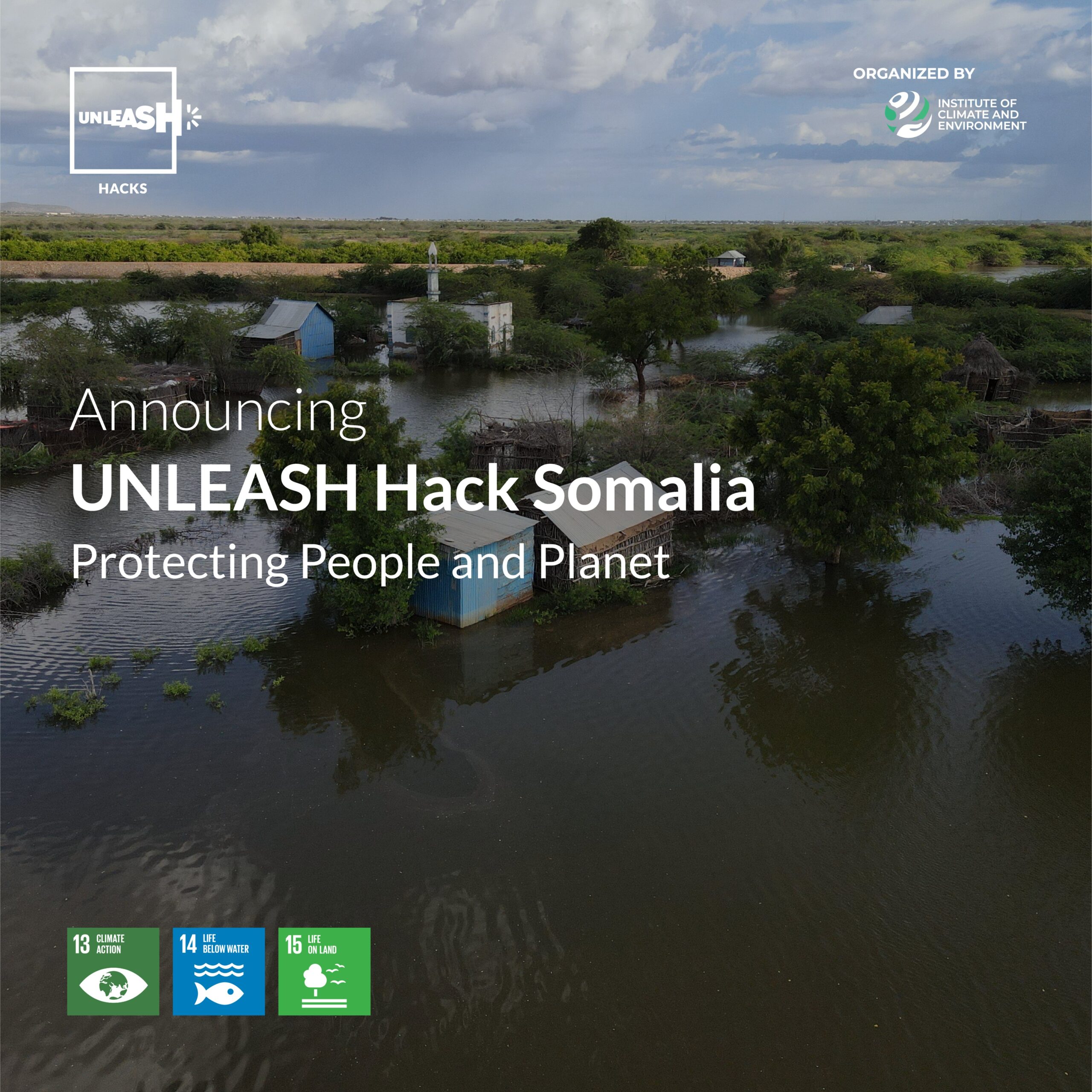
Somalia’s food security depends on how well the country manages floods in its agricultural areas. Disaster management is still focused on towns and settlements, yet floods regularly destroy crops, fields and rural infrastructure – with direct consequences for markets, prices and livelihoods.
Disaster management for agricultural areas is the part of disaster risk management that focuses specifically on protecting crops, farmland and agricultural infrastructure from hazards such as river floods and heavy rainfall. It covers prevention and preparedness, response and recovery in the agricultural sector – from structural protection and early warning systems to restoring production after a damaging event.
Settlements are undisputedly the highest‑priority assets in disaster management, while agricultural land often serves as retention space and can be deliberately flooded to protect settlements. In Somalia, this hierarchy has a particular drama: (1) arable land is extremely scarce, (2) farmers in flood‑prone areas suffer losses of harvests and irrigation infrastructure regularly, and (3) damage compensation and recovery are extremely costly.
To put it bluntly: investments in increasing crop production in Somalia are pointless if there is no disaster‑risk management concept for agricultural areas. Food security and stable rural livelihoods will not be achieved under these conditions.
Recent flood events show how quickly a single rainy season can wipe out years of investment in crop production. These costs place a heavy burden on affected households, the Somali state budget and international partners and come on top of structural agricultural challenges such as droughts and soil degradation. Disaster management for the protection of agricultural areas must therefore move from the margins into the centre of Somalia’s food, agricultural and climate‑resilience policies.
This shift requires a framework that links three levels: law, organizations and communities. Statutory and customary land rights determine whether, where and by whom flood protection structures and retention areas can be planned and financed. Organizations – ministries, agencies, task forces – translate these rules into hazard analyses, plans and decisions. Local communities ultimately decide how measures can be designed in a practical, acceptable and sustainable way. All three levels are essential – but they only work if they are built on sound data and knowledge.
This is where the knowledge audit becomes the crucial first step.
Who owns the land we need for flood protection?
Law: creating the conditions for investment
Effective flood protection for agriculture requires more than engineering. It depends on reliable rules on who may use which land, under what conditions and how affected people are compensated when land is required for protection measures.
Somalia’s legal system is pluralistic – combining statutory law, customary law and religious law. This pluralism does not in itself prevent clarity, but it requires systematic documentation and transparent handling of the different norms and claims.
Insecure land tenure is one of the biggest legal barriers. Informal ownership, overlapping clan claims and unclear inheritance rules make it risky to plan dikes, diversion channels or retention areas. Public authorities and investors will not commit resources where land rights are not recognised and compensation is uncertain.
Strengthening land administration systems in flood‑prone agricultural zones is therefore strategically crucial. Fit‑for‑purpose approaches – straightforward documentation of use rights, tenancy arrangements and compensation rules – can already make a big difference. Linked with geospatial data on flood risks, evacuation routes and retention potential, they help identify where structural measures and retention areas are possible.
For decision‑makers, the legal level is the foundation for legally robust, socially acceptable and financially viable investments in disaster risk management for agricultural areas.
Who turns flood data into real protection for farmers?
Organizations: from rules and data to action
Laws alone do not protect fields. Institutions must translate rules and information into decisions before, during and after floods. Ministries, government agencies, local administrations and task forces form the organizational backbone.
Central to this is hazard analysis. For agricultural areas, it integrates meteorological and hydrological data with knowledge about soils, crops and infrastructure. It answers key questions such as: which river sections and cultivation areas are most at risk, where would the greatest damage occur, where is retention possible without major production losses? Without such analysis, decisions remain reactive.
In Somalia, task forces are an important institution in disaster management – this also applies to disaster management that focuses on agricultural land. They can coordinate hazard analysis if they bring together meteorologists, water‑resource specialists, agricultural experts and local authorities. However, they need clear mandates, adequate resources and effective decision‑making procedures. Overlapping responsibilities and weak communication reduce their impact.
For ministries, this means: clarifying responsibilities, integrating agricultural and local knowledge into coordination, and strengthening data analysis capacities. Organizations are the bridge between legal frameworks and operational disaster‑risk‑management structures.
What makes flood protection work in Somali villages?
Communities: where protection succeeds or fails
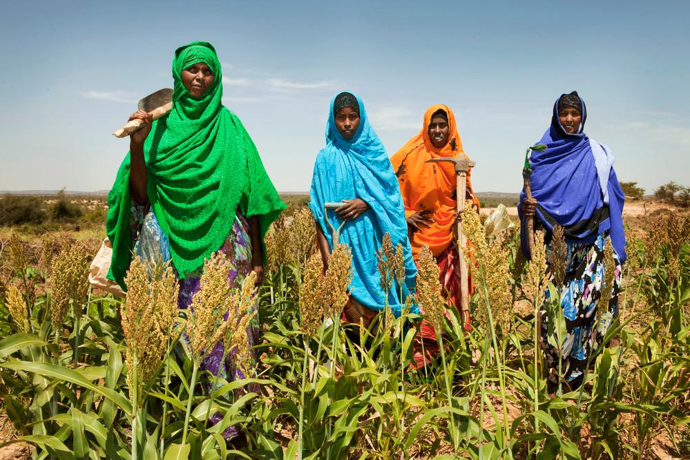
Harvests are grown, protected or lost in communities. National strategies for crop protection will fail if they do not work for farmers, local leaders and households who regularly experience floods. At community level, warnings are interpreted, fields are prepared, livestock is moved and cropping practices are adjusted.
Local actors know soils, erosion patterns, water flows, traditional retention measures and variety‑specific risks. Their crisis‑management and recovery capacities are substantial, but are rarely documented or integrated into formal processes.
Capacity development requires more than one‑off trainings. It demands an understanding of how knowledge emerges and is transmitted through elders, farmer groups and professional networks, and how it can be linked to scientific knowledge – without imposing one‑size‑fits‑all solutions.
Investments in advisory services, peer‑to‑peer learning and local preparedness structures make disaster management more realistic, sustainable and legitimate – and allow strategy to translate into concrete protection.
Why a knowledge audit is the first step – not an optional add‑on
Disaster management for the protection of agricultural areas does not begin with new laws or major projects, but with the question: what do we already know – and what is missing? All three levels suffer from knowledge gaps:
– Law: fragmented information on land rights; tenure insecurity hinders investments.
– Organizations: scattered data on floods, soil types and degradation, vegetation; insufficient analytical and early‑warning capacities.
– Communities: rich local knowledge, but little understanding of how it is generated, shared and connected with scientific knowledge.
A knowledge audit systematically records existing knowledge, the current state of data quality and the gaps. It connects information from ministries, universities, agencies and partners. Like a puzzle, it reveals existing pieces, missing links and necessary additions to build an overall picture of risks, vulnerabilities and options for action.
A knowledge audit for agricultural areas along the Juba and Shabelle rivers and in the inter‑riverine area could, for example, capture:
– datasets on floods, land use, topography, land rights, soils and infrastructure
– supportive laws and policies versus contradictions and gaps
– initiatives and local practices on warning, analysis and flood management
– strengths and weaknesses of coordination mechanisms
On this basis, decision‑makers can set priorities and make strategic choices: which land‑administration approach to adopt, which task forces to strengthen, which communities to involve and where to focus more detailed research.
Somalia already has both actors and knowledge – in ministries, universities, regional organizations and the private sector. A knowledge audit can create a shared starting point – the first concrete step towards protecting agricultural areas and crops from flood disasters, and thus towards stronger food security.
About the author
Dr Ulrike Dinglreiter is Senior Climate Fellow at the Institute for Climate and Environment (ICE), SIMAD University, Mogadishu. Her work focuses on disaster risk management and agricultural development in Somalia – in particular on how legal frameworks, institutions and communities can work together to safeguard food security under climate change.